The Georgia Department of Transportation reports that more than 1,000 traffic accidents happen around the state on a daily basis and an estimated 31 people die each week on Georgia roadways.

It is fairly easy to identify the cause of the increasingly frequent motor vehicle accidents. Distracted driving, following too closely, unsafe speed, failure to yield, and weather conditions all top the list of causes.
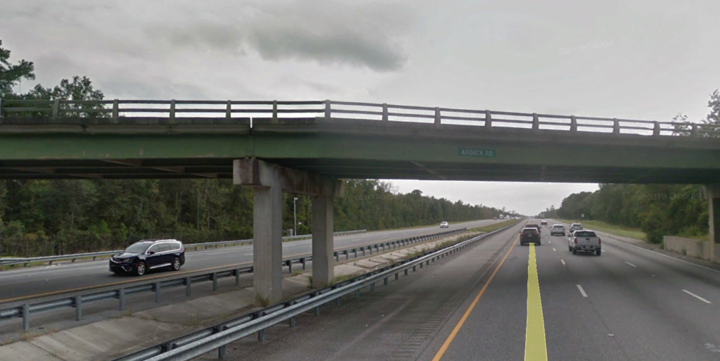
But are some roads more dangerous than others?
An analysis recently conducted by Butler Wooten & Peak found that 427 fatal crashes occurred on 57 stretches of Georgia road totaling 277 miles. These crashes resulted in 460 fatalities, with 20 percent being drunk driving-related deaths.

Information from Georgia Governor’s Office of Highway Safety
To determine the 57 deadliest roads (or stretches of road), Butler Wooten & Peak identified stretches where five or more fatal crashes occurred within 2.5 miles of each other. The results were then normalized and ranked by fatal crashes per mile. All of the data is from motor vehicle fatality data from 2013 – 2015.
Not surprisingly, 26 of the 57 are sections of interstate freeway and in terms of quantity, Interstate 75 tops the list with 11 stretches of highway.
These are the deadliest places on Georgia’s highways:
| RANK | ROAD | CITY | MILE POINT | FATAL CRASHES | FATALITIES | LENGTH | FATAL CRASHES PER MILE |
| 1 | I- 20 | Atlanta | 44 | 5 | 5 | 0.98 | 5.1 |
| 3 | Mike Padgett Hwy | Augusta | 52 | 6 | 6 | 1.29 | 4.65 |
| 2 | I- 75 | Kennesaw | 157 | 5 | 6 | 1.07 | 4.67 |
| 4 | Lee St SW | Atlanta | 158 | 5 | 5 | 1.17 | 4.27 |
| 5 | I- 85 | Atlanta | 10 | 10 | 2.46 | 4.07 | |
| 6 | Wesley Chapel Rd | Decatur | 68 | 5 | 7 | 1.42 | 3.52 |
| 7 | I- 85 | Atlanta | 18.5 | 5 | 5 | 1.44 | 3.47 |
| 8 | Martin Luther King Jr Dr SW | Atlanta | 126.5 | 6 | 6 | 1.8 | 3.33 |
| 9 | Old National Hwy | Atlanta | 312 | 12 | 12 | 3.73 | 3.22 |
| 10 | Houston Rd | Macon | 40.5 | 7 | 9 | 2.38 | 2.94 |
| 11 | I- 75 | Atlanta | 31.5 | 5 | 5 | 1.85 | 2.7 |
| 12 | Metropolitan Pkwy SW | Atlanta | 83.5 | 8 | 8 | 2.98 | 2.68 |
| 13 | I- 20 | Atlanta | 50 | 10 | 11 | 3.93 | 2.54 |
| 14 | Gordon Hwy | Augusta | 79 | 6 | 6 | 2.42 | 2.48 |
| 15 | Pio Nono Ave | Macon | 57.5 | 8 | 10 | 3.34 | 2.4 |
| 16 | I- 85 | Atlanta | 98.5 | 10 | 10 | 4.22 | 2.37 |
| 17 | State Rte 14 Connector | Atlanta | 313 | 5 | 6 | 2.13 | 2.35 |
| 18 | Athens Hwy | Loganville | 106 | 5 | 5 | 2.29 | 2.18 |
| 19 | I- 285 | Sandy Springs | 165.5 | 10 | 11 | 4.69 | 2.13 |
| 20 | I- 516 | Savannah | 32.5 | 6 | 7 | 2.82 | 2.13 |
| 21 | Broadway | Macon | 49.5 | 5 | 7 | 2.46 | 2.03 |
| 22 | Athens Hwy | Gainesville | 66.5 | 5 | 9 | 2.48 | 2.02 |
| 23 | Cartersville Hwy SE | Rome | 168.5 | 6 | 6 | 3.06 | 1.96 |
| 24 | I- 285 | Doraville | 12 | 13 | 6.12 | 1.96 | |
| 25 | State Rte 36 | Covington | 72.5 | 7 | 9 | 3.87 | 1.81 |
| 26 | I- 285 | East Point | 313.5 | 30 | 32 | 17.47 | 1.72 |
| 27 | I- 75 | Forest Park | 85.5 | 10 | 11 | 5.9 | 1.69 |
| 28 | I- 75 | McDonough | 56 | 6 | 6 | 3.69 | 1.63 |
| 29 | Lavista Rd | Decatur | 105.5 | 5 | 5 | 3.34 | 1.5 |
| 30 | Tara Blvd | Jonesboro | 73.5 | 15 | 15 | 10.19 | 1.47 |
| 31 | Moreland Ave SE | Atlanta | 21 | 9 | 11 | 6.31 | 1.43 |
| 32 | Abercorn St | Savannah | 104.5 | 8 | 8 | 5.96 | 1.34 |
| 33 | S Cobb Dr | Marietta | 54 | 6 | 7 | 4.47 | 1.34 |
| 34 | I- 75 | Locust Grove | 26 | 8 | 8 | 6.22 | 1.29 |
| 35 | I- 85 | West Point | 64 | 5 | 5 | 3.92 | 1.28 |
| 36 | Columbia Dr | Decatur | 26.5 | 5 | 5 | 4.03 | 1.24 |
| 37 | Stone Mountain Fwy | Tucker | 61.5 | 7 | 8 | 5.69 | 1.23 |
| 38 | Memorial Dr | Decatur | 86 | 5 | 5 | 4.07 | 1.23 |
| 39 | I- 20 | Douglasville | 15 | 16 | 12.29 | 1.22 | |
| 40 | I- 75 | Dalton | 121 | 6 | 6 | 4.97 | 1.21 |
| 41 | Lawrenceville Hwy | Lilburn | 22 | 5 | 6 | 4.19 | 1.19 |
| 42 | I- 75 | Calhoun | 39.5 | 6 | 6 | 5.05 | 1.19 |
| 43 | I- 95 | Savannah | 33 | 5 | 5 | 4.3 | 1.16 |
| 44 | I- 75 | Stockbridge | 168 | 5 | 5 | 4.37 | 1.14 |
| 45 | Covington Hwy | Decatur | 8 | 8 | 7.07 | 1.13 | |
| 46 | I- 20 | Decatur | 110 | 12 | 12 | 10.61 | 1.13 |
| 47 | Riverside Dr | Macon | 103.5 | 6 | 6 | 5.39 | 1.11 |
| 48 | I- 516 | Carrollton | 123.5 | 6 | 6 | 5.57 | 1.08 |
| 49 | Joe Frank Harris Pkwy SE | Cartersville | 116.5 | 5 | 5 | 4.65 | 1.08 |
| 50 | I- 285 | Decatur | 105 | 7 | 9 | 6.57 | 1.07 |
| 51 | Sylvester Rd | Albany | 110.5 | 6 | 6 | 5.83 | 1.03 |
| 52 | I- 75 | Cartersville | 71 | 6 | 6 | 5.85 | 1.03 |
| 53 | S Fulton Pkwy | Atlanta | 101.5 | 7 | 7 | 6.92 | 1.01 |
| 54 | I- 75 | Cartersville | 144.5 | 13 | 14 | 12.89 | 1.01 |
| 55 | State Rte 365 | Lula | 5 | 5 | 6.15 | 0.81 | |
| 56 | Villa Rica Hwy | Dallas | 51.5 | 6 | 7 | 7.84 | 0.77 |
| 57 | I- 75 | Macon | 122.5 | 5 | 5 | 8.41 | 0.59 |
You can examine the rest of the data as well as the interactive maps here.

Chart from Governor’s Office of Highway Safety


Chattooga Local News
GBI Arrests Former Teacher in Murray County

Bulloch Public Safety
04/01/2026 Booking Report for Bulloch County

Chattooga Local News
Oak Hill and The Martha Berry Museum’s Next Family Morning to Occur on April 8

Chattooga Schools
2027 Georgia Teacher of the Year finalists announced
Bulloch Public Safety
03/31/2026 Booking Report for Bulloch County
Bulloch Public Safety
03/09/2026 Booking Report for Bulloch County
Bulloch Public Safety
03/30/2026 Booking Report for Bulloch County
Bulloch Public Safety
03/16/2026 Booking Report for Bulloch County
Bulloch Public Safety
03/10/2026 Booking Report for Bulloch County
Bulloch Public Safety
03/20/2026 Booking Report for Bulloch County